You are here: City posts —>
The boundary marks today —>
Individual boundary marks —>
Post 185a
- Status:
Missing
- Type:
2
- National grid reference:
TQ4038262198
- Location:
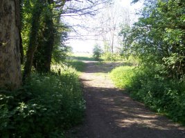
At Furze Bottom, 600 m SE of Layhams Farm
- Location map at Streetmap:
TQ4038262198
- Original 19th century parish:
West Wickham
- Depicted on first edition of OS 6" map as:
B.P.
- Moved:
No
- Circumstances of move:
n/a
- New national grid reference:
n/a
- New location:
n/a
- Map of new location at Streetmap:
n/a
- Locality:
Leaves Green
- Access:
None
- Listed building:
Not listed
- Local authority:
Bromley
- Last seen:
- Date missing:
By 1965
- Notes:
<— Previous mark |
Back up to Individual boundary marks |
Next mark —>
Page created by Martin Nail: Contact me. Last revised
22nd July 2010
 This
web site: Copyright © 2010 Martin Nail. It is licensed under a Creative Commons
Attribution-Non-Commercial-Share Alike 2.0 UK: England & Wales License.
This
web site: Copyright © 2010 Martin Nail. It is licensed under a Creative Commons
Attribution-Non-Commercial-Share Alike 2.0 UK: England & Wales License.
 |
|
 |
|